I added the ability to export maps to a custom-sized image (PNG file) for
Map Enthusiast and higher. On the interactive map menu, set the background, features, and zoom you would like in the image. Then select "Menu" and then "Export Map." A window will pop up with some instructions. Select your dimensions and press "Export to Image." Wait for the map to be exported, and then... Presto! You have an image of the map (with a small Paddle Planner logo in the corner).
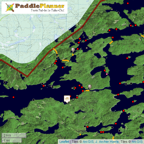 |
| Export to Image Example |
The larger the image, the longer the process will take. Most of the process runs on your computer, so if it is a large image, it will also take up a lot of computer resources. In my tests, though, "normal-sized" images (page size or less) don't take too long to process.

No comments:
Post a Comment